Why doesn't the plaque outside Wistariahurst mention that the mansion isn't actually from Holyoke?
Most people who walk past the wrought iron fence on Cabot Street assume the Victorian pile inside it grew up here, the way the rest of the Highlands did. It didn't. The house was built in 1868 in Williamsburg, a village inside Northampton, designed by a Northampton architect named William Ferro Pratt for William Skinner, a silk manufacturer whose mill had just been wiped out by a flood. When the flood forced Skinner to relocate his business to Holyoke, he had the entire house moved with him. It landed on Cabot Street in 1874.
That single fact changes how the rest of the neighborhood reads. Because 1874 isn't just the year the mansion arrived. It's the same year the land around it, the parcels that would become Lincoln Street and Nonotuck Street, went up for auction as building lots. If you've ever walked the loop from Kennedy Park up to Wistariahurst without knowing any of this, you've been tracing a single event in local history without realizing the map was drawn all at once.
The Year Everything Landed at Once
Before it was the Highlands, this whole hillside was known as Manchester Grounds, named for a group of investors from Manchester, New Hampshire who bought the land soon after Holyoke was chartered in 1852. They defaulted on it within four years. For most of the 1860s the land sat as farms and estates, waiting for a use.
That use arrived in the 1870s, when the parcels were subdivided into residential lots. A Springfield Republican notice from September 1874 advertised building lots at auction on the Manchester Grounds. A follow-up item that December described the new streets as still "quite lively" with construction. The same year, a few blocks away, William Skinner's relocated mansion was going up on Cabot Street.
Nobody planned this as one project. The mansion arrived because of a flood. The lots sold because Holyoke was growing and needed somewhere for that growth to live. But they happened in the same twelve months, on the same hillside, and today they sit close enough together that you can walk between them without noticing the coincidence unless someone points it out.
The Trolley Decided Which Houses Came Next
Land sold in 1874 doesn't automatically become a neighborhood. The Highlands needed a way for people to actually get up the hill to live there, and that didn't happen until a decade later, when the trolley line extended up Appleton Street and Lincoln Street. Holyoke's streetcar system had started as a two mile horse car line in 1884, and once the rails reached this hillside, building picked up in earnest.
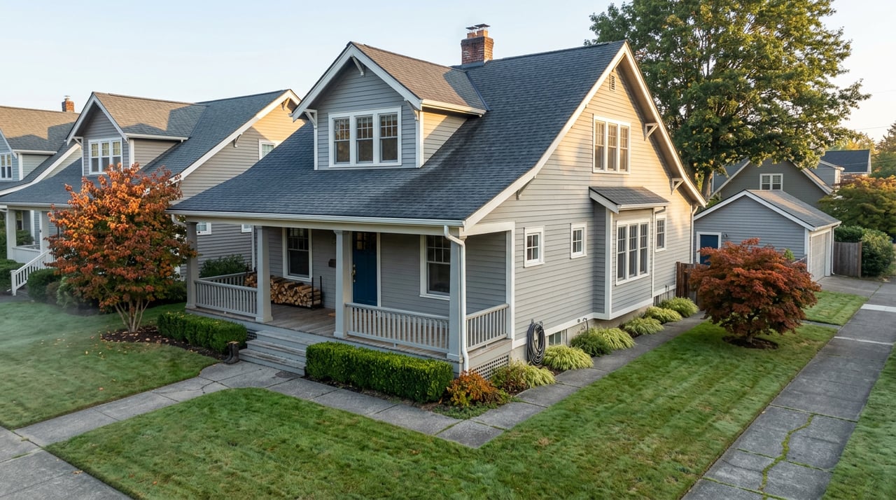
You can see the gap in the construction dates if you walk Lincoln Street today. The Azro Coburn House at 98 Lincoln didn't go up until 1908. The James Ramage House at 104 Lincoln dates to 1895. The John Williams House at 118 Lincoln, a Queen Anne Victorian built for a carpenter and painter who worked at a downtown store, went up in 1893. None of these houses arrived with the 1874 lot auction. They arrived after the trolley made the commute possible, which means the row of Victorians you pass on a normal walk isn't a single generation of building. It's a decade and a half of construction, staggered by whoever could afford to build once the rails made the hill practical to live on.
Appleton Street tells the same story from a different angle. A contractor named Casper Ranger built his home at 507 Appleton specifically because he knew the trolley was coming and wanted the visibility. His construction firm went on to build Holyoke's City Hall. A few doors down at 495 Appleton, a mill owner named Landers built his house almost entirely in brick, a material choice that made sense for a man who owned a brick mill in South Hadley.
A Park With Three Names
Kennedy Park, the anchor at the base of this loop, has quietly worn three identities.
The city bought the land in 1898 under the name Ranger Park, a plaza that came to hold memorials for the Grand Marshals of Holyoke's St. Patrick's Day Parade. One of those Grand Marshal honorees in the 1950s was a young senator named John F. Kennedy. When he was assassinated in 1963, the city renamed the park in his honor.
Somewhere in between, part of that land also became the site of Highland School, giving the modern city's own parks listing its shorthand description of Kennedy Park as the "former site of Highland School." The neighborhood's grammar school, built separately in 1905 to keep up with the trolley era population boom, later found a second life as an auditorium for Holy Cross Church's singing groups. Buildings and land here tend to get reused rather than replaced outright.
The park's most recent chapter came in 2022, when a grant from the Miracle League of Western Massachusetts funded a fully inclusive, ADA-exceeding playground on the site, complete with wheelchair-accessible structures, therapeutic swings, and sensory elements. It sits in the same block that started as a political honor, became a school, and is now, a century and a half after the original 1874 land auction, still doing what it was bought to do: giving the neighborhood a shared piece of ground.
The Loop, Stop by Stop
If you want to walk this without a map, the pieces sit close enough together to string into a single afternoon:
- Kennedy Park. Start at the ballfield and inclusive playground, and take a look at the Nonotuck Street corner, which the old walking tour notes describe as the park's grand entrance.
- Lincoln Street, heading west from the park. Look for the Queen Anne detailing on the John Williams House at 118, then the Ramage House at 104 and the Coburn House at 98.
- Appleton Street. This was the trolley corridor. The Casper Ranger House at 507 and the brick Landers House at 495 both went up because of the streetcar, not before it.
- Cabot Street and Wistariahurst. The loop ends where the coincidence started, at the gardens of the mansion that arrived the same year the lots around it went to auction.
None of this requires a car, a ticket, or a reservation. It's a walk most Highlands residents are already halfway through most weeks without knowing what they're passing.
Why the Garden Gate Is Never Locked
Wistariahurst's grounds are open to the public from dawn until dusk, every day, free of charge, a policy that has held since the city and the Wistariahurst Foundation took over stewardship of the estate after Katharine Skinner Kilborne donated it in 1959. The gardens are also where the museum raises money for its own upkeep, through an annual plant sale that draws on the work of its volunteer gardeners. As the season turns, the museum leans into its Halloween-adjacent traditions too, including ghost tours through the mansion's history and gatherings built around the season, a pattern the museum itself flags as an annual fixture worth watching for on its calendar.
None of that requires advance planning beyond checking Wistariahurst's own calendar page, which the museum updates about a month ahead. What it does reward is knowing that the garden gate you're walking past on a Tuesday afternoon has been open, free, and unlocked for the same reason the rest of this loop exists: because in 1874, this hillside decided all at once to become a neighborhood, and it has spent the century and a half since finding new uses for the same handful of buildings and blocks.
If you're thinking about your own place inside that story, whether that means understanding what a Highlands address is actually worth today or simply wanting a local voice who knows this hillside block by block, Shelly Hardy is happy to talk it through. Schedule a free consultation whenever you're ready.